La Vallière is a productive river in the Jura department offering excellent opportunities for coarse fishing, with established populations of carp, catfish, zander, pike, bream, and perch throughout its stretch. Anglers can expect a versatile fishing experience in this well-managed waterway, with the option to fish through the night and camp along the banks, making it ideal for extended fishing trips. A Carte de Pêche (annual fishing licence obtained through the local AAPPMA federation) is required to fish this water.
Water level data from Hub'Eau / Vigicrues. Nearest hydrometric station, updated every 15 minutes. Always verify conditions on arrival.
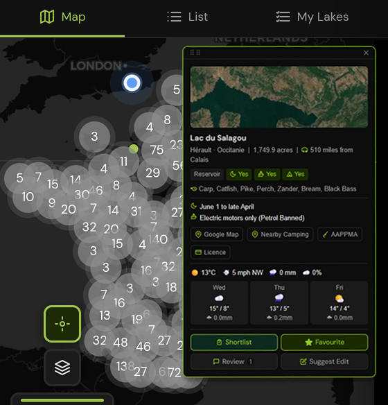
Filter by species, night fishing, boats and bivvy. Find rivers and lakes near Jura and across all of France.
La Vallière holds carp, catfish, zander, pike, bream, perch. Carp are the primary draw for visiting UK anglers — all carp must be handled carefully and returned.
A valid Carte de Pêche is required to fish La Vallière. Licences are available online before your trip.
Join to unlock full rules, night sectors, access notes and local camping spots for La Vallière and 10,000+ venues across France, Belgium and the Netherlands.
To fish La Vallière, you need a valid Carte de Pêche, available from cartedepeche.fr before you leave the UK and affiliation with the local AAPPMA covering this stretch. Annual, weekly and daily licences are all available online.
Jura is home to numerous public fishing rivers and canals. Browse all venues in Jura or explore all of Bourgogne-Franche-Comté.
Other public fishing rivers and canals near La Vallière on PiscaMaps: