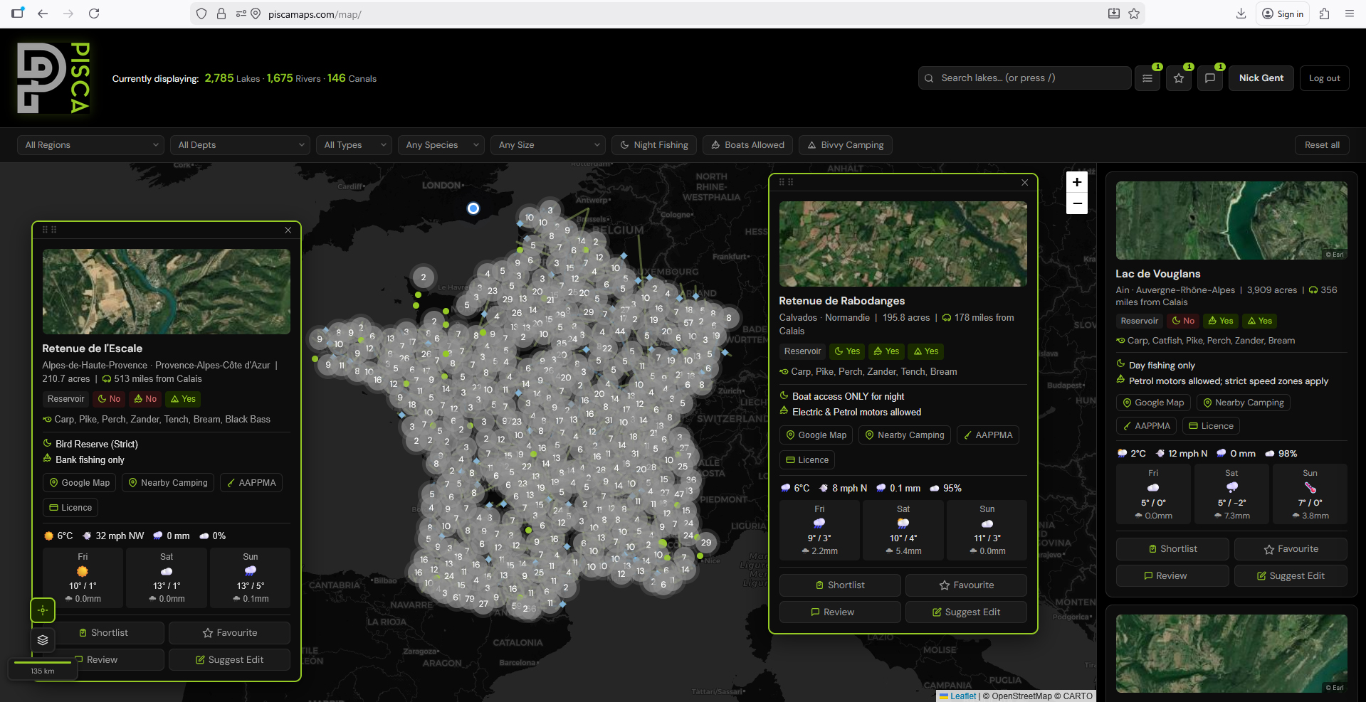
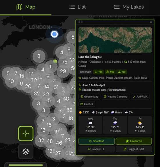
4,000+ public lakes, rivers and canals across France with Google pins, night fishing rules, boat rules and local camping spots. Shortlist your venues and save your favourites. All in one interactive map.
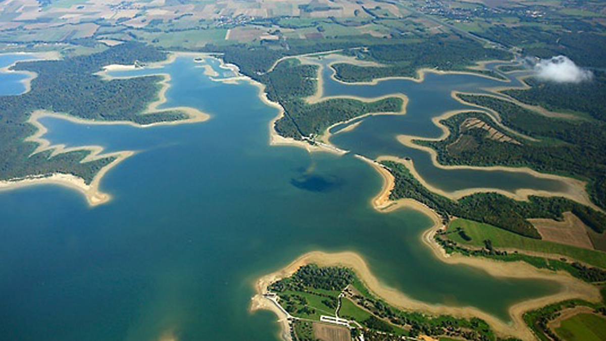
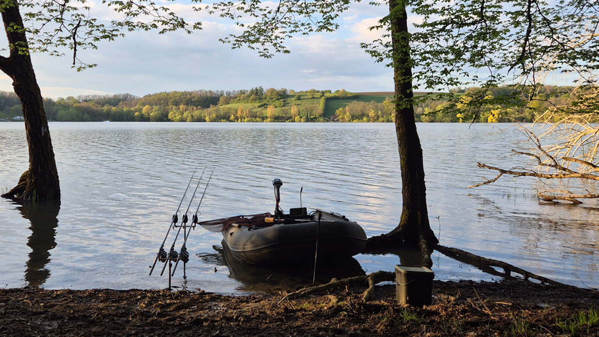
France is one of Europe’s premier carp fishing destinations, attracting thousands of UK and european anglers every year. With waters holding fish to 60lb and beyond, public French lakes and reservoirs offer exceptional fishing at a fraction of the cost of private syndicate waters.
PiscaMaps covers 3,097 public fishing lakes across all 12 metropolitan regions of France — from vast reservoirs in Auvergne-Rhône-Alpes to gravel pit fisheries in the north and natural lakes in Occitanie. Each venue includes species information, size, night fishing rules, boat permissions and distance from Calais, so UK anglers can plan their trips with confidence.
Many of France’s most productive carp venues are public waters managed by local fishing associations (AAPPMA). Access requires a valid French fishing licence (Carte de Pêche) available from cartedepeche.fr — PiscaMaps links to the relevant AAPPMA for every venue.
Getting the most out of a French fishing trip starts with knowing the rules. French fishing regulations vary by department, season and water category — what’s permitted on one lake may not be on another. Night fishing, bivvy camping and the use of boats all require specific permissions that differ venue by venue.
PiscaMaps brings this information together in one place. Filter by region or department to find venues near your planned route from Calais, narrow by species to target carp, pike or catfish, and check night fishing status before you book your ferry. With 96 French departments covered, whether you’re planning a weekend trip to Normandie or a longer journey south into Occitanie, PiscaMaps gives you the information to fish legally and fish well.
Full access to all 4,000+ venues and member features. Cancel anytime.