
Le Cotatay is a scenic river flowing through the Loire department in the Auvergne-Rhône-Alpes region, offering excellent habitat for trout, grayling, and chub in its clear, flowing waters. Anglers will find a diverse fishing experience with night fishing permitted and the unique opportunity for bivouac and camping along the stretch, making it ideal for extended angling trips exploring the 15km run from Cotatay to downstream. A Carte de Pêche (annual licence obtainable through the local AAPPMA) is required to fish these waters, where bullhead populations also indicate good ecological health and healthy riverine conditions.
Water level data from Hub'Eau / Vigicrues. Nearest hydrometric station, updated every 15 minutes. Always verify conditions on arrival.
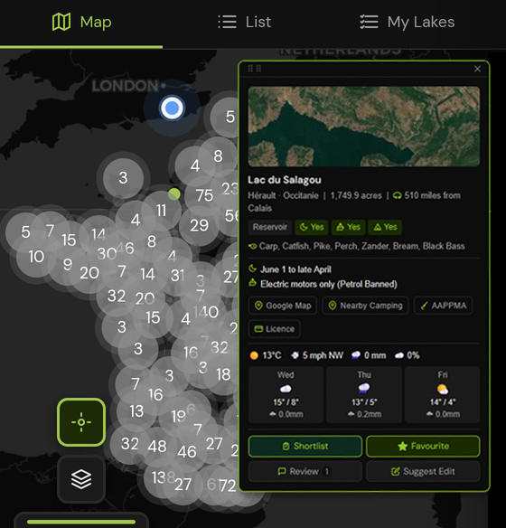
Filter by species, night fishing, boats and bivvy. Find rivers and lakes near Loire and across all of France.
Le Cotatay holds trout, grayling, chub, bullhead.
A valid Carte de Pêche is required to fish Le Cotatay. Licences are available online before your trip.
Join to unlock full rules, night sectors, access notes and local camping spots for Le Cotatay and 10,000+ venues across France, Belgium and the Netherlands.
To fish Le Cotatay, you need a valid Carte de Pêche, available from cartedepeche.fr before you leave the UK and affiliation with the local AAPPMA covering this stretch. Annual, weekly and daily licences are all available online.
Loire is home to numerous public fishing rivers and canals. Browse all venues in Loire or explore all of Auvergne-Rhône-Alpes.
Other public fishing rivers and canals near Le Cotatay on PiscaMaps: